Slope Remediation UAV LiDAR and Photogrammetry Survey
Project Location: Hampton, NSW
Service: UAV LiDAR | Aerial Photogrammetry | Orthomosaic Mapping
Sector: Road Infrastructure | Slope Remediation
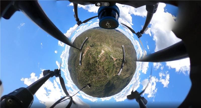
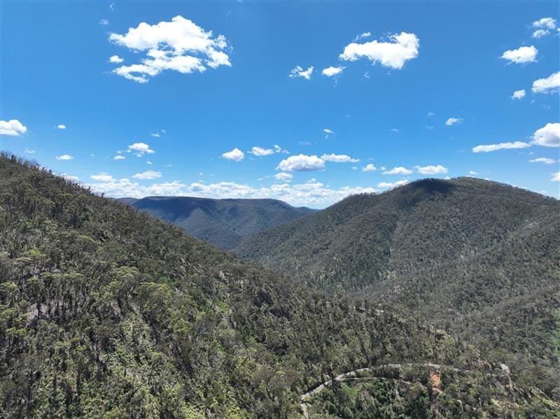
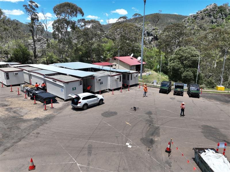
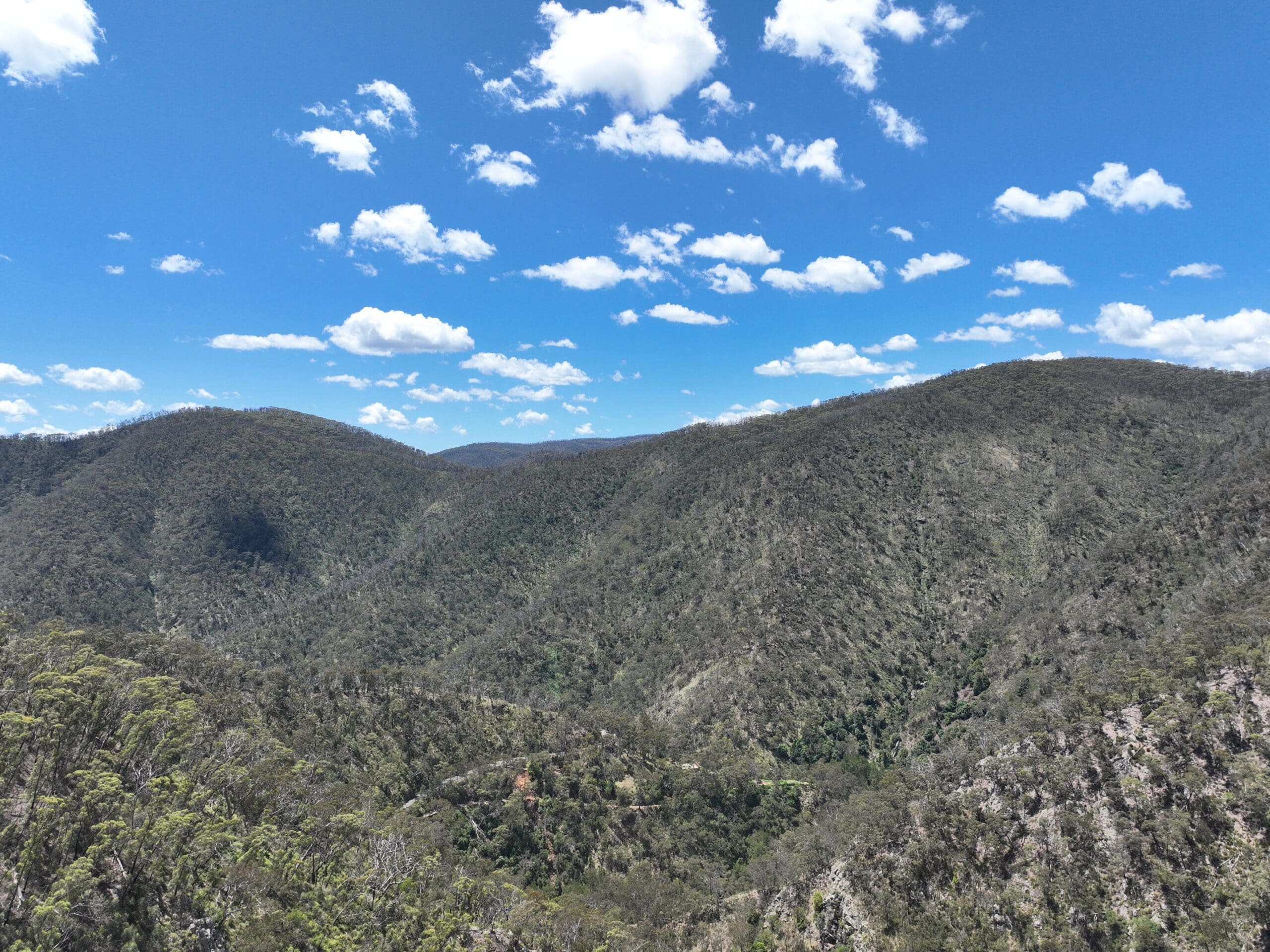
project gallery
Project Overview
Road & Civil Surveys was engaged to capture detailed aerial LiDAR and photogrammetry data along Jenolan Caves Road, west of the Blue Mountains, to support active slope remediation and road rehabilitation works following a series of catastrophic weather events.
Jenolan Caves Road is the sole public access route to the Jenolan Karst Conservation Reserve — home to the world’s oldest known open cave system, dating back approximately 340 million years. The reserve forms part of the UNESCO World Heritage–listed Greater Blue Mountains Area and is listed on the NSW State Heritage Register.
Beginning with the 2019–20 bushfire season and followed by severe rainfall and flooding in March 2021, April 2022 and again in April 2024, Jenolan Caves Road suffered significant slope failures, landslides and erosion at multiple locations including Hampton, Two Mile and Five Mile. Transport for NSW described the damage as unprecedented, noting it had never seen a road failure of this scale in the state. Multiple failure sites, totalling hundreds of metres in length across several kilometres of road, required complex geotechnical remediation including soil nailing, shotcrete, rock bolting, rockfall mesh installation and hydro mulching to stabilise the upslope and downslope formations.
The principal remediation contractor required a comprehensive spatial record of the existing road corridor and surrounding terrain to assist with design, progress monitoring and documentation of the challenging environment.
The Road & Civil Solution
The rugged terrain, steep grades, unstable slopes, dense bushland and active remediation works along the corridor made traditional ground-based survey methods impractical. Road & Civil Surveys deployed a DJI M300 RTK survey drone equipped with dual sensor payloads to capture the full extent of the project area safely and efficiently from above.
- A DJI Zenmuse P1 (35mm) camera was used to capture high-resolution aerial imagery from approximately 120 metres AGL, producing a vibrant, detailed orthomosaic of the existing road and surrounding environment.
- An aerial LiDAR scanner was flown simultaneously to generate a highly dense point cloud of the terrain, road surface, slope faces and surrounding vegetation.
- The dual-sensor approach was critical in this environment. LiDAR’s ability to penetrate dense vegetation canopy and return multiple targets per pulse provided accurate terrain modelling beneath the tree line — something optical photogrammetry alone cannot achieve in heavily vegetated areas.
- The orthomosaic provided a clear, visual record of the existing conditions including exposed slope faces, remediation works in progress and the surrounding bushland, while the LiDAR point cloud delivered the geometric accuracy needed for engineering design.
- All data was captured in a single mobilisation with no disruption to active construction works on the corridor.
Key Outcomes
Safe Data Capture in Hazardous Terrain — Aerial methods eliminated the need for survey crews to work on or near unstable slopes, active construction zones and steep terrain with limited access.
Vegetation Penetration — LiDAR scanning through dense bushland canopy provided accurate ground surface data essential for slope stability analysis and remediation design in areas where ground-based survey was not feasible.
Comprehensive Design Dataset — The combination of high-resolution orthomosaic and dense LiDAR point cloud gave the remediation contractor both visual context and accurate 3D spatial data in a single deliverable package.
Existing Conditions Record — The survey captured a complete snapshot of the road corridor and slope conditions at the time of capture, providing a valuable baseline for progress monitoring and as-built documentation as remediation stages are completed.
Project Snapshot
- 120m AGL Flight Height
- Dual Sensor LiDAR + Photogrammetry Capture
- 0 Disruption to Active Construction Works
- Dense Vegetation Penetrated with Aerial LiDAR
Services Delivered
- UAV LiDAR survey
- Aerial photogrammetry
- High-resolution orthomosaic production
- High-density point cloud capture and processing
- DJI M300 RTK drone deployment
- Terrain modelling through dense vegetation