Warehouse Completion Aerial Inspections
UAV Aerial Inspection
Project Location: Newcastle, NSW
project information
Overview
Road & Civil Surveys was engaged to undertake a UAV aerial inspection of a newly completed industrial warehouse facility in Newcastle, capturing high-resolution photography and video to document the finished asset for stakeholder review and project completion records.
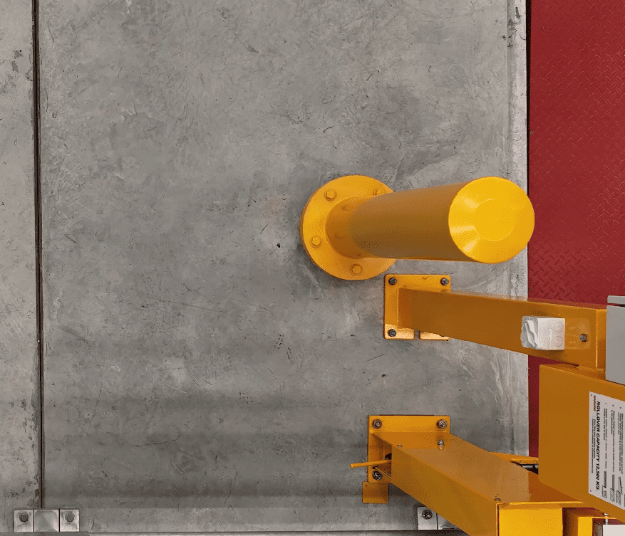
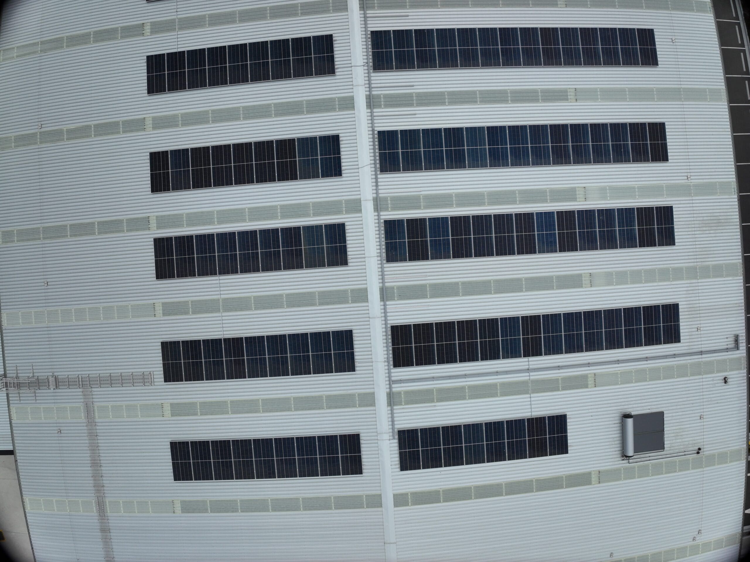
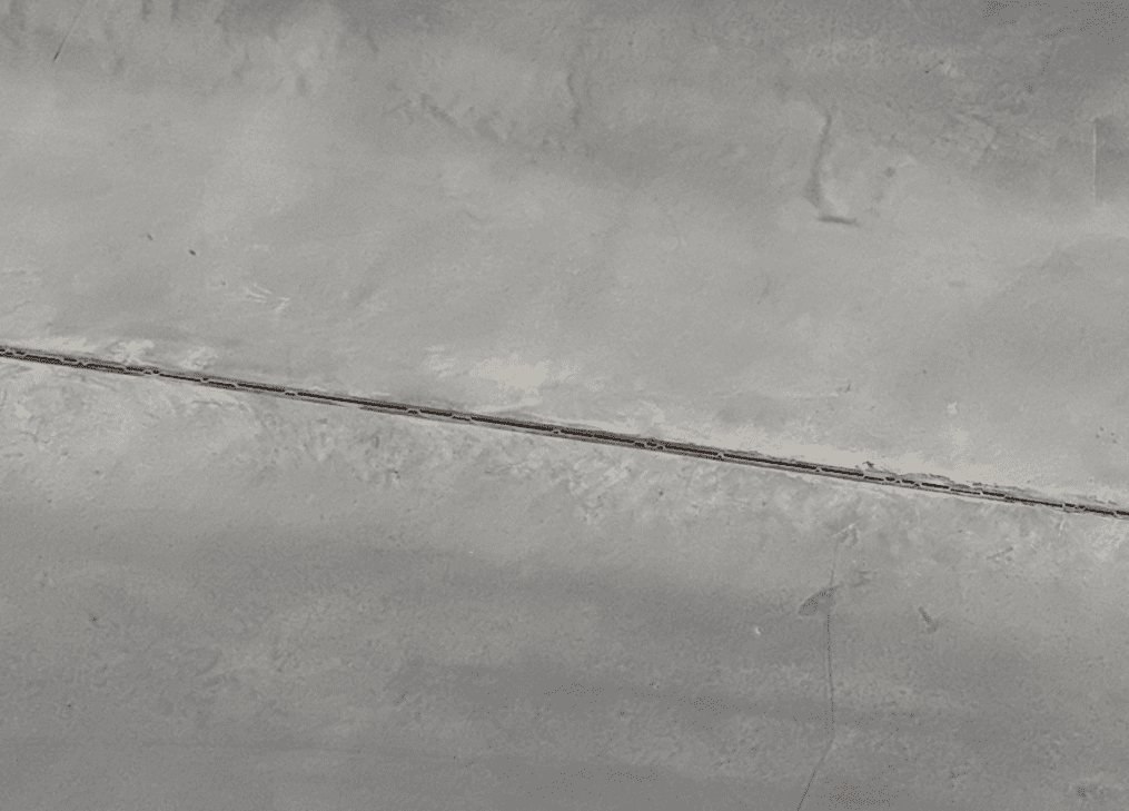
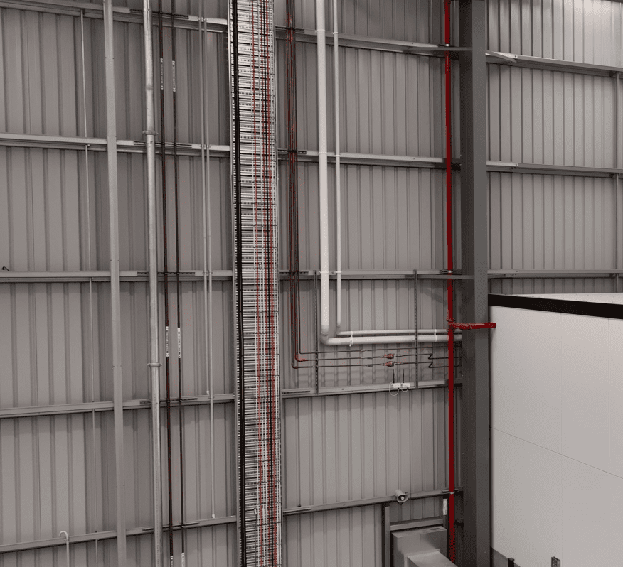
The inspection was carried out using a DJI Matrice 4 Enterprise (M4E) drone with ground control points established on site to ensure spatial accuracy across all captured imagery. Multiple flight profiles were used to document the full extent of the warehouse structure including roof condition, cladding, guttering, external services, hardstand areas, access roads and landscaping. The combination of still photography and video provided stakeholders with a comprehensive visual record of the completed facility, supporting sign-off, handover documentation and future asset management without the need for elevated work platforms, roof access or cherry pickers.
Aerial inspection at completion is increasingly used by asset owners, developers and fund managers to efficiently document new facilities at handover and establish baseline condition records for ongoing portfolio management. A single UAV mobilisation replaces what would otherwise require multiple trades accessing the roof and upper facade with scaffolding or EWPs — delivering a faster, safer and more comprehensive result.
Services Delivered
- UAV aerial inspection (DJI M4E)
- Ground control point establishment
- High-resolution photography
- Video documentation
- Roof and facade condition imagery
- Completion and handover documentation