by Matt Jordan | Feb 23, 2026
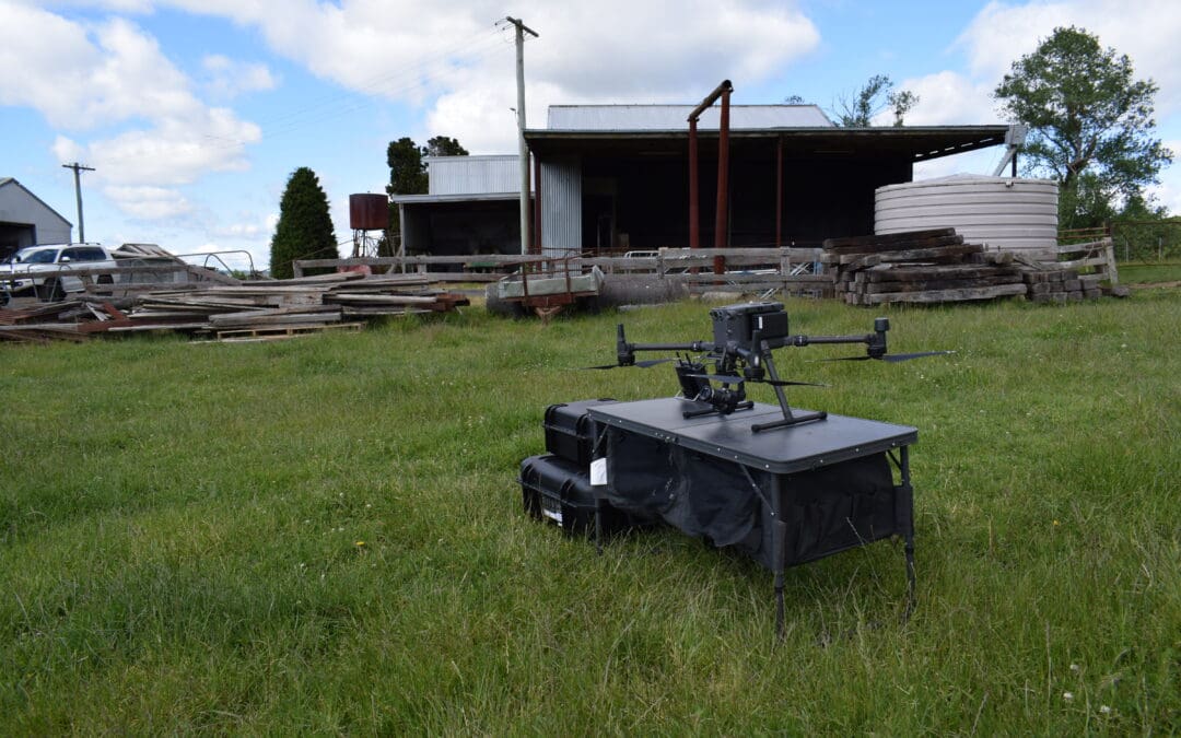
Large-Scale Topographic Survey for Land Development Project Location: Lithgow, NSW Service: Aerial LiDAR | UAV Survey project gallery Project Overview Road & Civil Surveys was engaged to deliver a comprehensive topographic survey of a 100-hectare rural...
by Matt Jordan | Feb 23, 2026
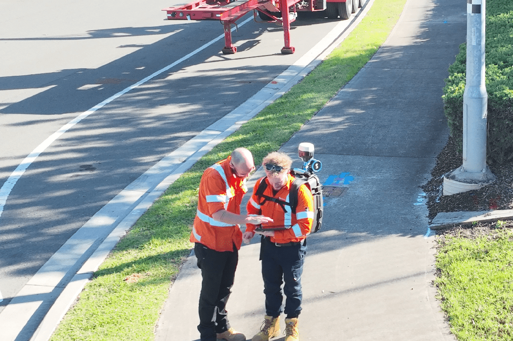
Road Corridor Mobile LiDAR Survey for High-Voltage Feeder Design Project Location: Huntingwood, NSW Service: Mobile LiDAR Survey | 3D CAD Modelling | Digital Terrain Surface Sector: Energy Infrastructure | High-Voltage Transmission project gallery Project...
by Matt Jordan | Feb 23, 2026
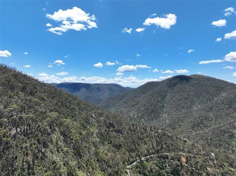
Slope Remediation UAV LiDAR and Photogrammetry Survey Project Location: Hampton, NSW Service: UAV LiDAR | Aerial Photogrammetry | Orthomosaic Mapping Sector: Road Infrastructure | Slope Remediation project gallery Project Overview Road & Civil Surveys was...
by Matt Jordan | Feb 21, 2026
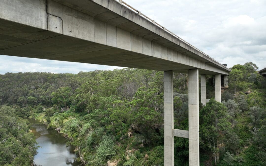
Bridge Aerial Inspection and LiDAR Survey Project Location: Douglas Park, NSW Service: Aerial LiDAR | Asset Inspection | UAV Survey project gallery Project Overview Road & Civil Surveys was engaged to undertake an asset inspection and aerial LiDAR survey of...
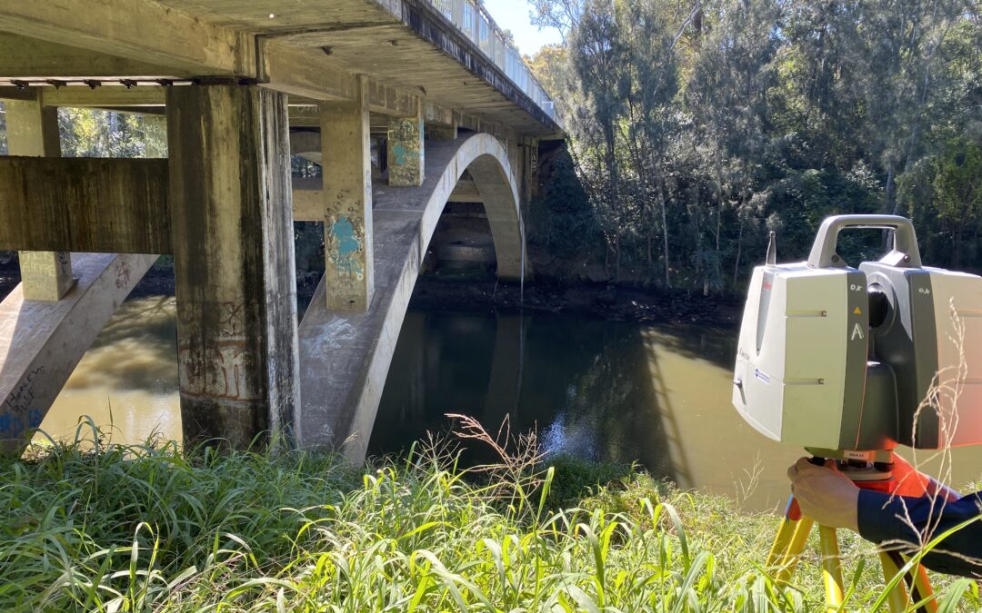
by onlineoptimisation | Aug 6, 2025
Nepean and Lansvale Bridge survey Project Location: Penrith and Lansvale NSW Service: 3D Laser Scanning | Bridge Survey | Data Modelling project gallery Project Overview Road & Civil Surveys was engaged to capture and model two heritage-listed bridges in...