M7–M12 Integration Project
Construction Surveying & UAV Support – John Holland / WSO Co
Project Location: Western Sydney, NSW
Project Value: $1.7b
Project Engagement: 2023 – 2026
project information
Overview
Road & Civil Surveys is providing large-scale construction surveying and UAV support for the North Zone of the M7–M12 Integration Project — a $1.7 billion motorway upgrade delivered by John Holland that is reshaping the road network across Western Sydney ahead of the opening of the Western Sydney International Airport.
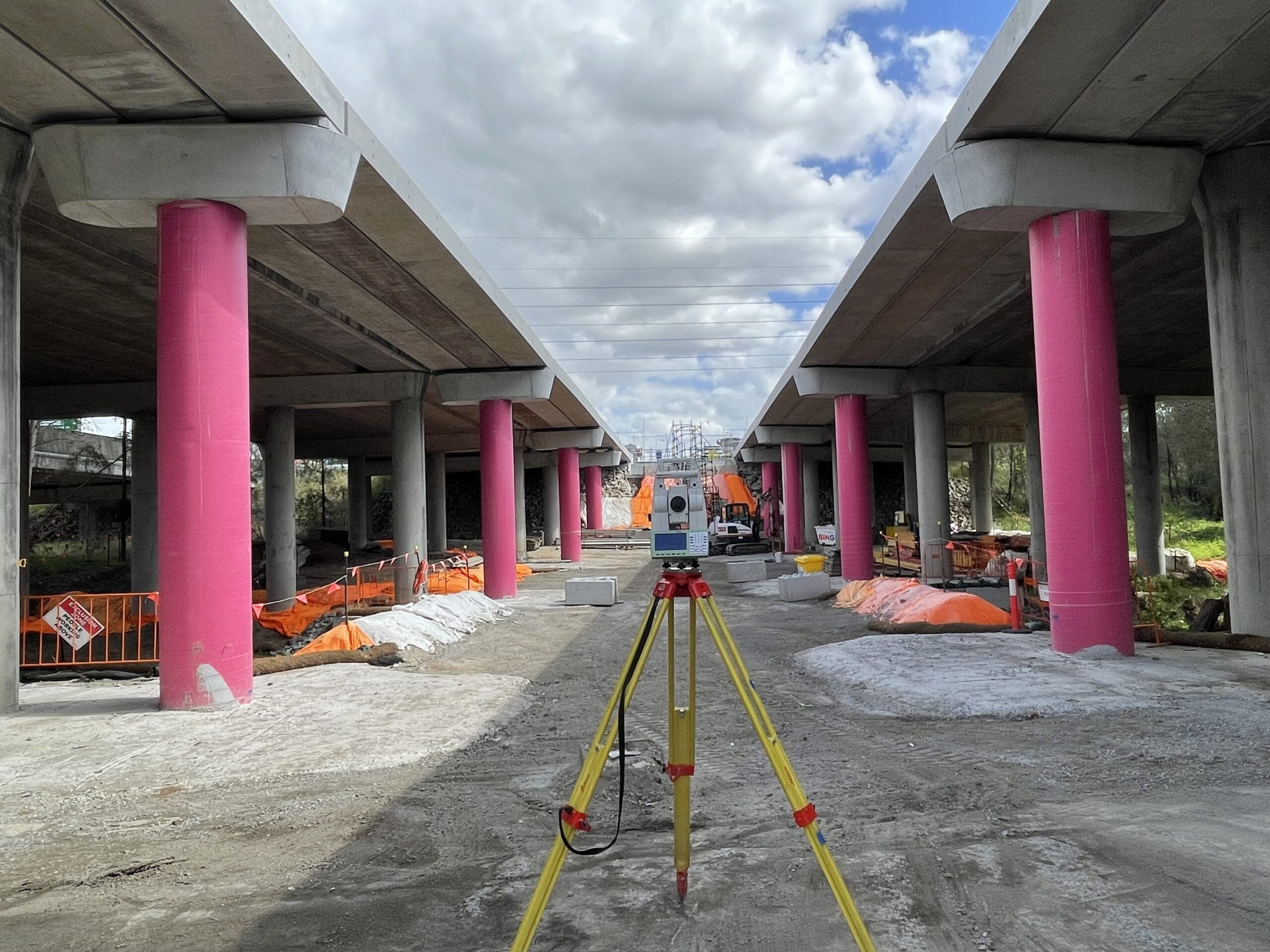
The overall project comprises widening 26 kilometres of the M7 Motorway from two to three lanes in each direction, constructing a new motorway-to-motorway interchange between the M7 and the toll-free M12 Motorway, and delivering the Elizabeth Drive Connection. The scope includes 7 new bridges, upgrades to 41 existing bridges, and major earthworks, drainage, and pavement works across one of Sydney’s busiest freight and commuter corridors.
RCS is engaged on the North Zone — spanning from the Elizabeth Drive Connection through to Richmond Road at Oakhurst/Glendenning — covering the northern extent of the M7 widening and associated interchange, bridge, and civil works.
Our Role
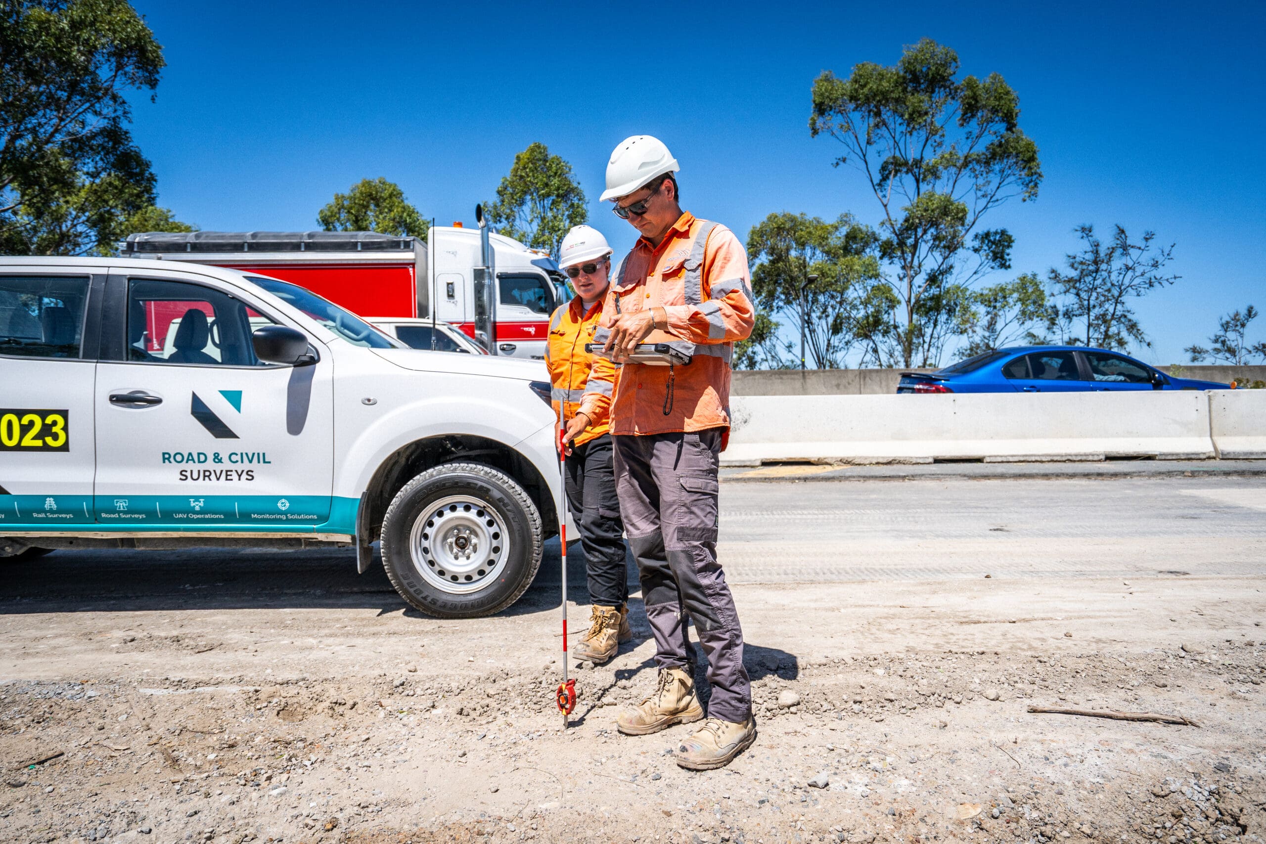
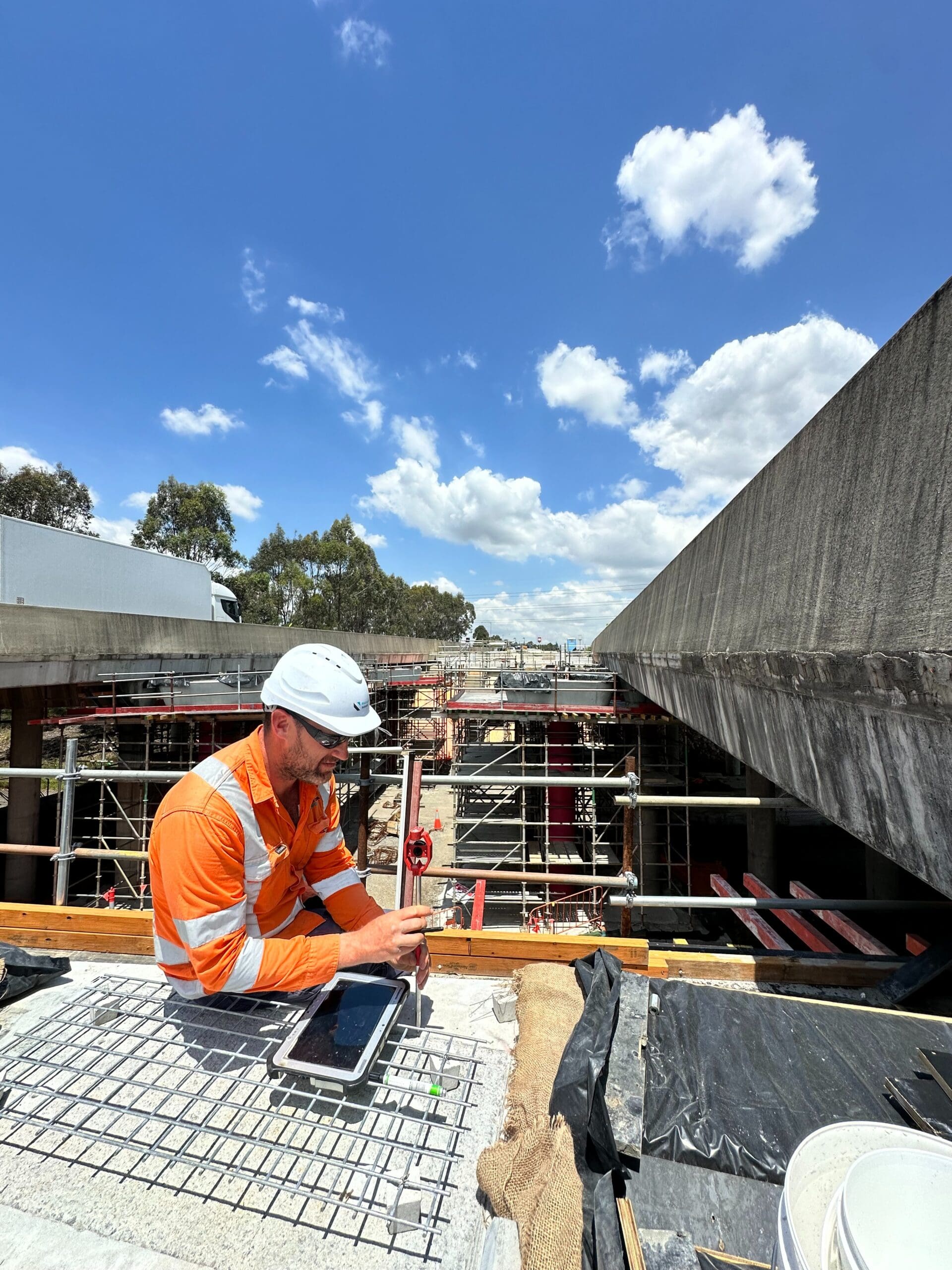
With 10+ surveyors deployed at peak across the North Zone, RCS has been embedded within the John Holland delivery team since 2023 — one of our largest and longest-running engagements. Our team operates across multiple simultaneous work fronts along the northern corridor.
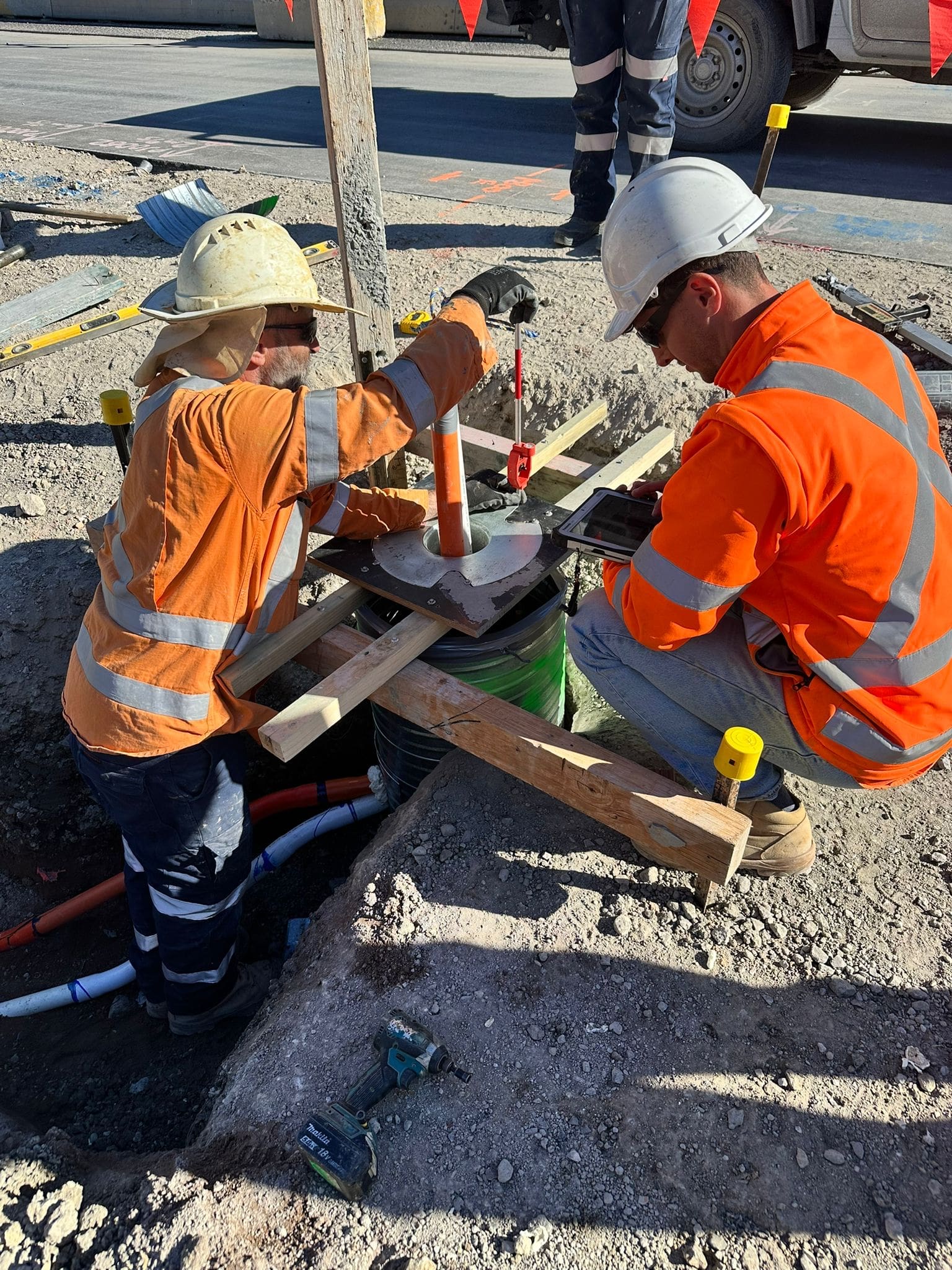
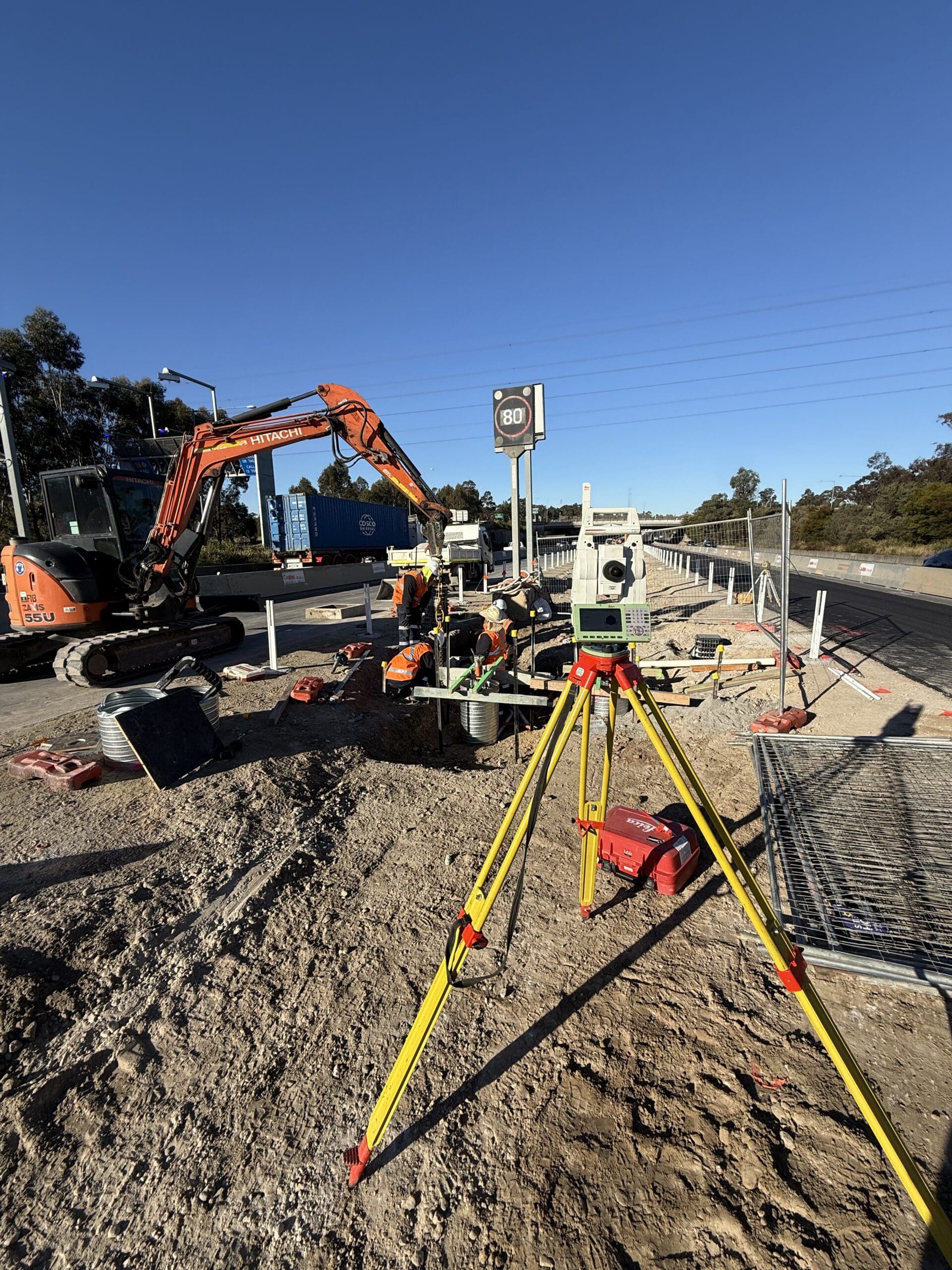
Our scope covers set-out, verification, and as-built surveys for new and upgraded bridge structures, earthworks, pavements, drainage, and motorway tie-ins — all delivered within a live motorway environment carrying tens of thousands of vehicles daily. RCS provides extensive night shift and road closure survey coverage, enabling critical works to be completed within compressed time windows where the M7 is partially or fully closed to traffic.
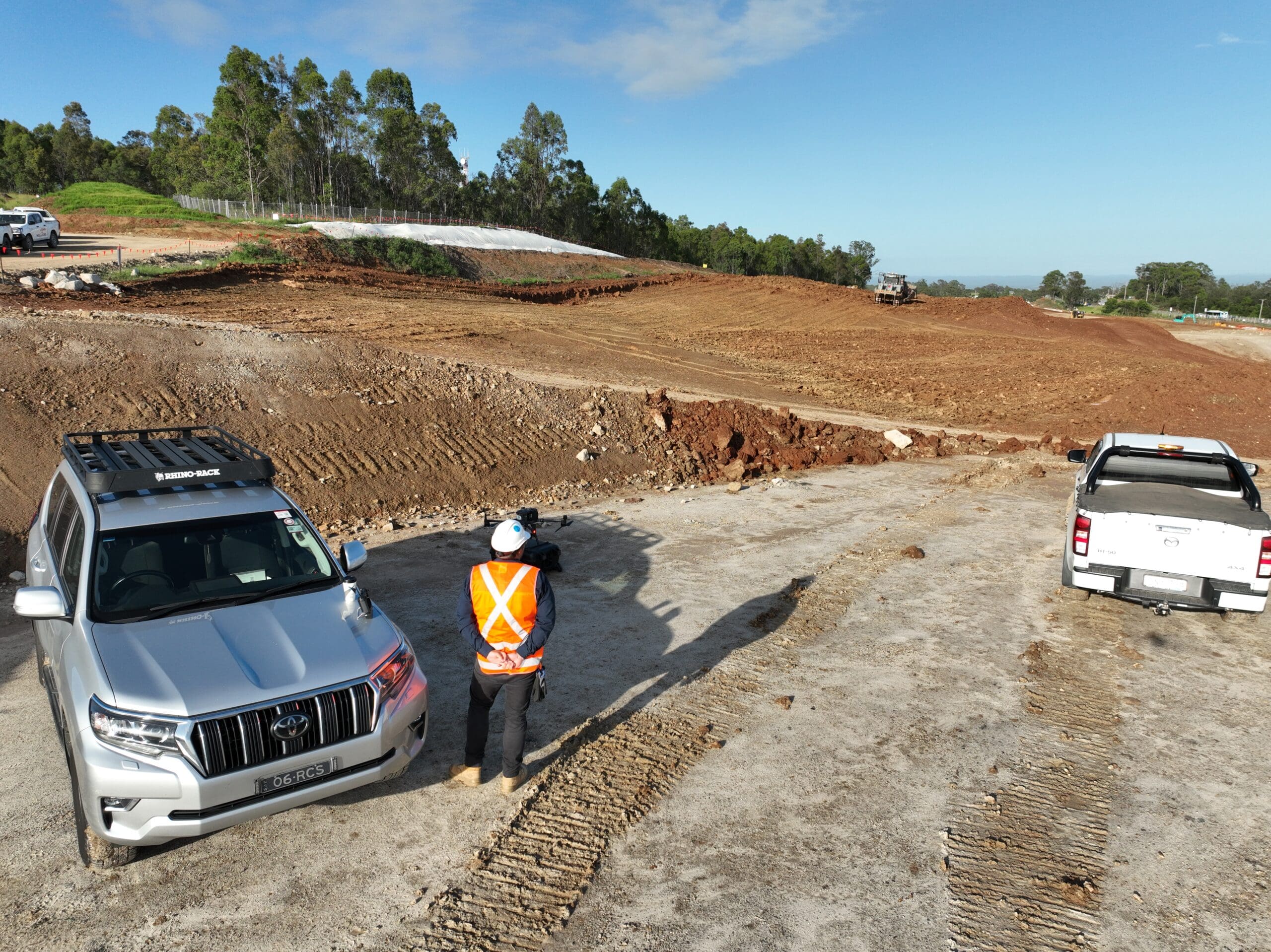
In parallel, RCS manages a regular UAV flyover program through Propeller, providing John Holland with consistent aerial progress imagery, volumetric calculations, and corridor-wide visibility. Our team also delivers detailed data calculations and end-of-month reporting to support commercial management and program tracking.
Driving Value
Widening a live motorway in the median — with active traffic in both directions, bridge works overhead, and construction crews operating across kilometres of corridor simultaneously — is an environment where survey accuracy is both a safety and a program imperative.
RCS has driven value for John Holland through the scale and reliability of our deployment across the North Zone. With 10+ surveyors across multiple fronts, we’ve provided the resourcing depth to maintain survey coverage wherever construction is active — day shift and night shift — without creating bottlenecks that hold up earthworks crews, bridge gangs, or paving teams.
Our UAV program has delivered a single, consistent source of truth for quantities and progress across a corridor where visual tracking from ground level is impractical. Weekly flyover data feeds directly into EOM claims and program reporting, giving the commercial and project management teams reliable data to manage delivery.
The combination of embedded survey support, night shift coverage, UAV capability, and data reporting from a single provider has simplified the survey supply chain across the North Zone, reduced coordination overhead, and ensured spatial data is delivered consistently across every work front.
Services Delivered
- Construction surveying and set-out for new and upgraded bridge structures
- Earthworks, pavement, and drainage set-out across the North Zone corridor
- Motorway tie-in and live traffic interface survey support
- Night shift and road closure survey coverage
- UAV flyover program managed through Propeller for progress and volumetrics
- Data calculations and end-of-month reporting
- Verification and as-built surveys
- Multi-crew deployment (10+ surveyors) across simultaneous work fronts