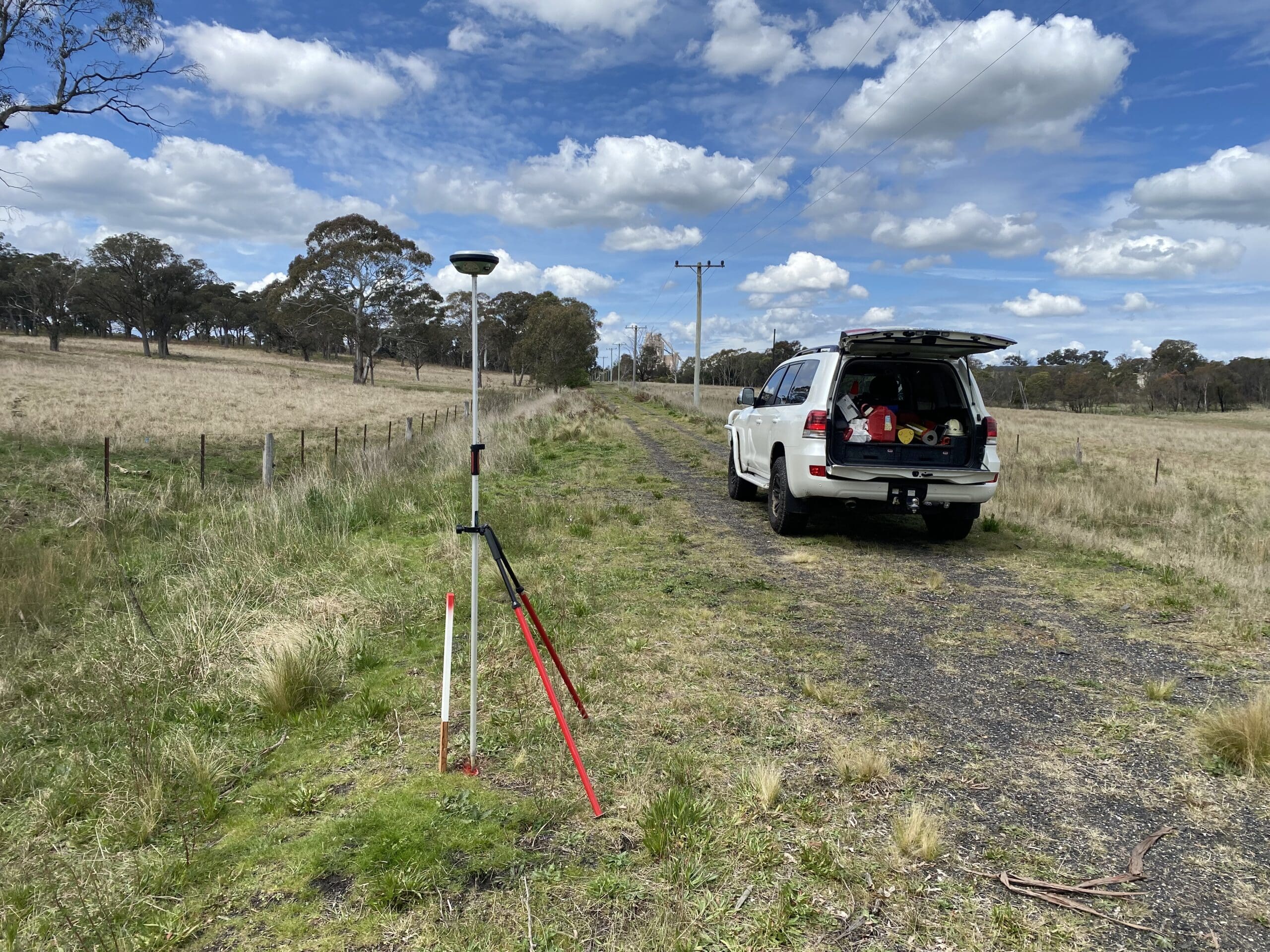
Before a single peg goes in the ground, a civil project needs a set of trusted survey points to work from. That set of points is the control network. It is the quiet foundation under every measurement on site.
Most people never think about it, which is fine when it is right. When the control is wrong, the whole build is wrong, and the cost shows up everywhere at once. Here is what a control network is, why it matters so much, and the mistakes that turn it into a problem.
What a control network is
A survey control network is a set of fixed, marked points with known positions and heights. Each point has an accurate coordinate and level that has been measured, checked, and recorded.
There are usually two layers:
- Primary control. A small number of high-accuracy marks that cover the whole project. These are the anchors. Everything else hangs off them.
- Secondary or working control. More marks placed closer to the work, set from the primary marks. Crews use these day to day for setout and checks.
Together, these points give everyone on the project a shared, reliable frame to measure from. When a survey crew sets up, they tie into the nearest control mark and work from there.
Why it is the foundation
Every survey task on a project refers back to control. Construction setout works from it. As-built survey checks against it. Volume and progress surveys all start there.
That is why control errors are so costly. An error in a control mark does not stay in one place. It spreads to every job that used that mark. A wrong coordinate at the control level becomes wrong setout, wrong as-built, and wrong checks across the whole site.
Think of it like the foundation of a building. If the foundation is off, every floor above it inherits the problem, and you only find out once the upper floors do not line up.
How control is set
Strong control follows a clear process and ties into the national framework so it lines up with everyone else’s work.
Tie to the national datum. In Australia, horizontal positions are referenced to the national datum, GDA2020, and shown on the Map Grid of Australia, known as MGA. Heights are referenced to the Australian Height Datum, or AHD. Using these means the project speaks the same coordinate language as the design, the authorities, and the next project on that site.
Measure with the right methods. Primary marks are often set with GNSS, the satellite positioning used by survey-grade receivers. Working marks are then densified from the primary marks using a total station traverse. Each step is measured with redundancy so it can be checked.
Follow national guidance. Survey control in Australia follows a national standard known as SP1, published by the Intergovernmental Committee on Surveying and Mapping. SP1 sets out how positional accuracy and uncertainty are measured and reported for control marks. Following it gives a control network that is defensible and consistent.
One trap to understand: grid versus ground
Here is a detail that catches projects out. Coordinates on a map grid like MGA are not the same as distances measured on the ground. The grid is a flat projection of a curved earth, so a grid distance and a ground distance differ by a small scale factor.
On a large site, that small difference adds up over long lines. If a crew mixes grid values and ground measurements without accounting for the scale, lengths drift. Good control makes the grid and ground relationship clear from the start, so everyone measures on the same basis.
Common control mistakes
Most control problems are avoidable. These are the ones that show up most often:
- Using unverified marks. A crew assumes an existing mark is good and builds off it. If that mark was disturbed or never checked, the error is now baked in.
- Mixing datums. Old marks on a superseded datum get mixed with new ones. The numbers look fine but they do not belong together.
- Building on disturbed control. Marks get knocked, dug out, or moved by site traffic. A mark that has shifted a few millimetres still gives readings, just wrong ones.
- Not re-checking control. Sites change. Marks that were good at the start can be lost or moved as work goes on. Control needs checking through the life of the job, not just on day one.
How strong control de-risks a project
Good control quietly pays for itself across the whole program.
- It shrinks the error budget for setout, so the finished work lands inside tolerance.
- It makes as-built records true, because the build and the check share the same frame.
- It lets several crews and trades work off the same marks at the same time, without drifting apart.
- It gives a clear, recorded basis that holds up if a measurement is ever questioned.
None of this is glamorous. It is just the difference between a project that measures up cleanly and one that fights small errors all the way to handover.
Who looks after the control
Control is the surveyor’s job to establish, verify, and protect. On a busy site with several contractors, one control network should govern the whole project, not a separate set per crew. When everyone works from the same verified marks, the work fits together. When crews quietly set their own marks, small differences creep in and surface later as clashes. Keeping control under one trusted set of hands removes a whole class of error before it starts.
The bottom line
A control network is the set of trusted points everything else is measured from. Get it right, verify it, tie it to the national datum, and re-check it as the site changes, and the rest of the survey work stands on solid ground.
Sound engineering survey and reliable construction surveying both start with control you can trust. To talk through control for your project, get in touch with our team.